by Nigel Kitto
Over the last 12 months KTS has been putting together some signage improvements for Kimberley’s trail network. We were able to secure grant money from the Columbia Basin Trust as well as Resort Municipality Infrastructure Development funds from the Provincial Government. That $12,000 has gone a very long way!
Firstly, some extensive and detailed mapping was needed. It’s pretty handy to have an orienteering club in town to help out! Jim Webster the president of Kootenay Orienteering Club (and also KTS director) had already made a great new map for Lois Creek Trails, and extended that expertise to create new maps of the Kimberley Riverside Campground, the Levirs Trail Area, Horse Barn Valley, Round the Mountain and Magic Line. This required extensive GPS work by KTS volunteers and communication/consultation with many other community groups. The results are extremely impressive, and provide great information for the new kiosk signs. Also, the series of 6 ‘tear-off’ trail maps are available for free at the Visitor Centre - very important when the biggest query from visitors to Kimberley is about trails.
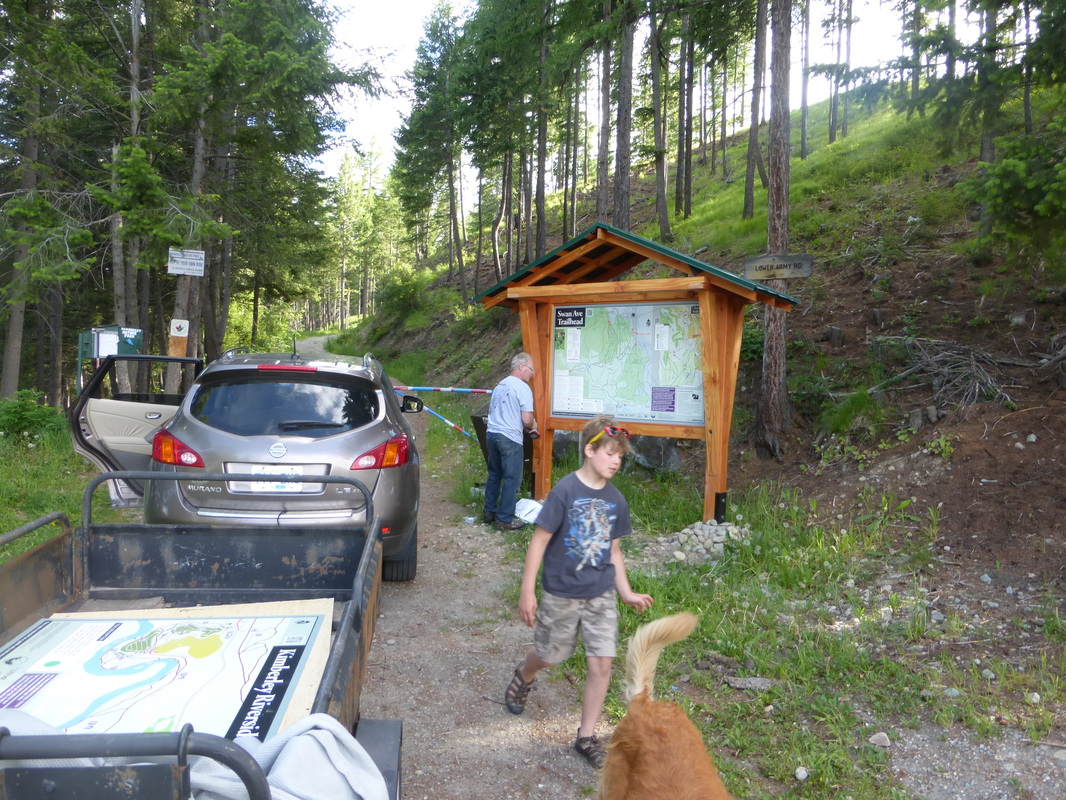
The creation of a map for the Levirs Trail Area brought more questions. What are the formal trail names and who’s looking after them? The trail area is city land, between Levirs Ave and below the Trickle Creek Golf Course, bordered by the Kimberley Nature Park to the south with the northern trailhead on Gerry Sorensen Way. KTS entered a land use agreement with the City of Kimberley to care for the trails, with key member John Allen being the local ‘Trail Champion’. The 3 significant single track sections had several different names, even “No Name” was a popular choice! We thought there must be some real names, so we sought feedback from locals and regular trail users for their formal names. Some distinctive trail signs made by KTS member Gregg Campbell have been installed, along with 2 new trailheads and a new kiosk at the Swan Ave trailhead further enhancing this trails area.
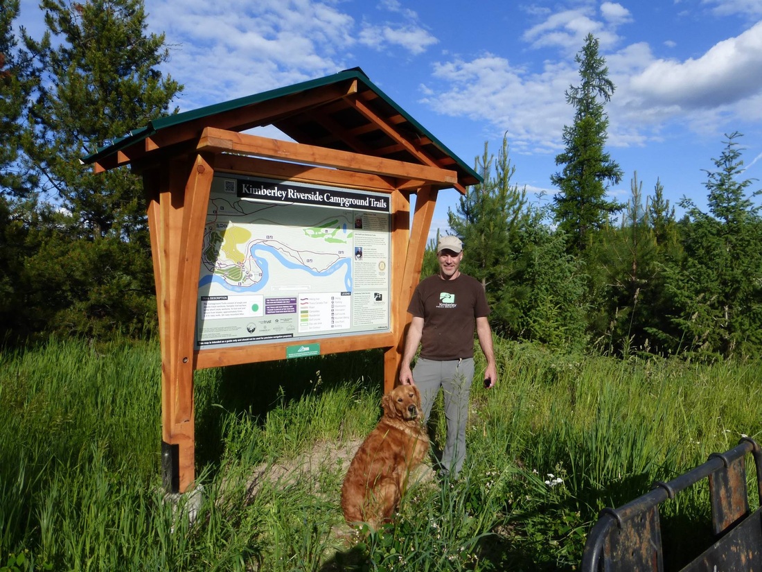
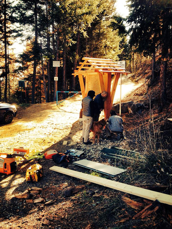
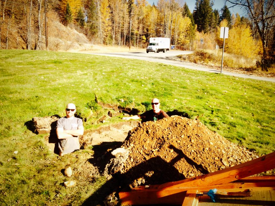
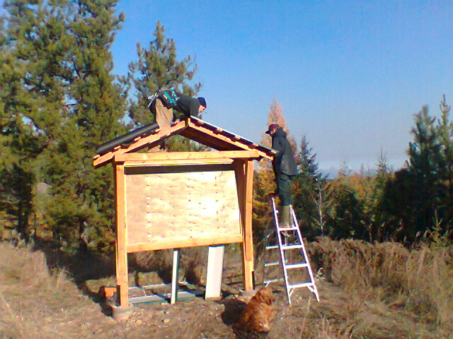
Three new kiosks were constructed for this project by Mark Knutsgard and his Foundation Carpentry Class at the College of the Rockies. The big and beautiful fir, timber frame constructions were installed at the Swan Avenue trailhead, Coronation Park, and at the Kimberley Riverside Campground last fall. These sturdy constructions required significant footings, all dug by hand. In fact many holes needed to be dug for this project, and anyone who’s dug a hole around here knows how hard that can be! Thank you to the tireless volunteers contributing to well over 100 volunteer hours to the project overall - thankfully not all to digging!
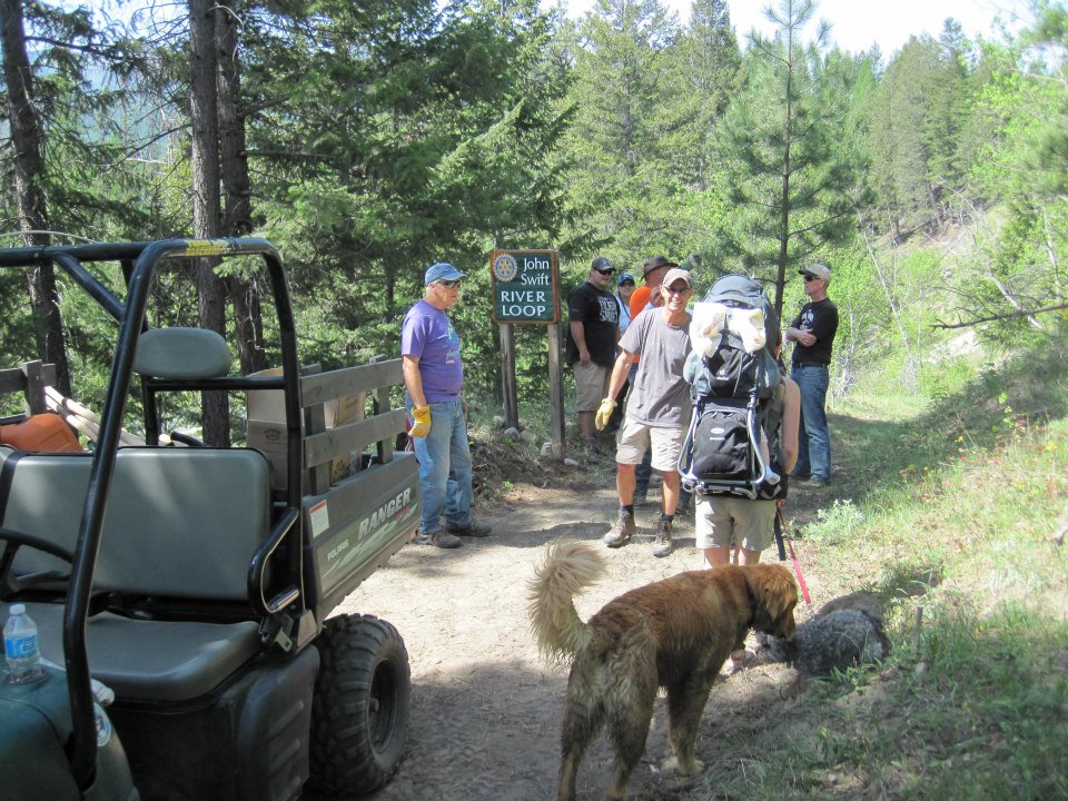
The Kimberley Riverside Campground Trails also received brand new trail signs made by local Gerry Drane, who has already made a great deal of the new trail signs for the Kimberley Nature Park. Wayne Pelter is the KTS Trail Champion for the campground trails and assisted with volunteer coordination, logistics and some blood, sweat and tears! Pat Barclay from Rotary was also instrumental in the cooperation with Kimberley Rotary making this work possible. The collaboration with Rotary has been a real highlight, with so many Rotarians coming out to work on the Rotary Centennial, John Swift and James Ritchie trails, and finally to erect the signs. The new kiosk and sign at a previously unmarked trailhead will tell visitors about the trails, for who they are named and the community groups who have made it all happen.
The Kimberley Nordic Centre has also benefited from the project. The Kimberley Nordic Club had a spare kiosk they weren’t using, and KTS had a few ideas... With so much happening up there these days, we needed to give our trail users as much information as possible about what is on offer, year round. The recycled kiosk was installed at the southern end of the parking lot adjacent the trails. The kiosk has information on Kimberley Nordic Club winter operations, Magic Line trails and Round the Mountain, providing a great overview and complementing existing and planned signage.
Lois Creek Trails also got a makeover. New markers were installed at key junctions along the Teaspot Loop, giving more information and a map to refer to. Trailhead signs at Elko, Lindsay and 4th Ave entrances were also installed. The new kiosk near Centennial Hall was placed to utilize the safe parking and facilities there, while promoting the entrance adjacent Morrison Sub behind the 4th Ave ‘dog-leg’. More upgrades for loop and trail signage in Lois Creek are planned for the future, and city street signage will need to be adjusted to further promote the 4th Ave trail entrance.
It has been a very expansive project, and has made a huge impact on the signage needs for our trail network. This project was only possible due to the cooperation of so many different individuals, community groups, city and provincial representatives, and of course our volunteers. This successful and productive cooperation is a strong indicator of the importance of trails to our community, imperative for Kimberley’s future social and economic development.

